


Jennings Loop Voting District, Okanogan County, Washington
About
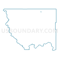
Outline

Summary
| Unique Area Identifier | 687647 |
| Name | Jennings Loop Voting District |
| County | Okanogan County |
| State | Washington |
| Area (square miles) | 0.27 |
| Land Area (square miles) | 0.25 |
| Water Area (square miles) | 0.02 |
| % of Land Area | 91.69 |
| % of Water Area | 8.31 |
| Latitude of the Internal Point | 48.93023000 |
| Longtitude of the Internal Point | -119.42757810 |
Maps


Graphs
Select a template below for downloading or customizing gragh for Jennings Loop Voting District, Okanogan County, Washington


Neighbors
Neighoring Voting District (by Name) Neighboring Voting District on the Map
- Horseshoe Lake Voting District, Okanogan County, WA
- Oroville 1 Voting District, Okanogan County, WA
- Oroville 3 Voting District, Okanogan County, WA
- Oroville 4 Voting District, Okanogan County, WA
- Oroville 5 Voting District, Okanogan County, WA
- South Oroville Voting District, Okanogan County, WA
- Tonasket Creek Voting District, Okanogan County, WA